
2018-01-19 | COMPANY NEWS Browsing Times : 4610
On January 19th, 2018 (China Standard Time),the companysuccessfully launched"Deqing-1" satellite and "Linye-2" satelliteby usingCZ-11 in JSLC. The satellites entered predetermined orbit, and the launch mission was successfully completed.
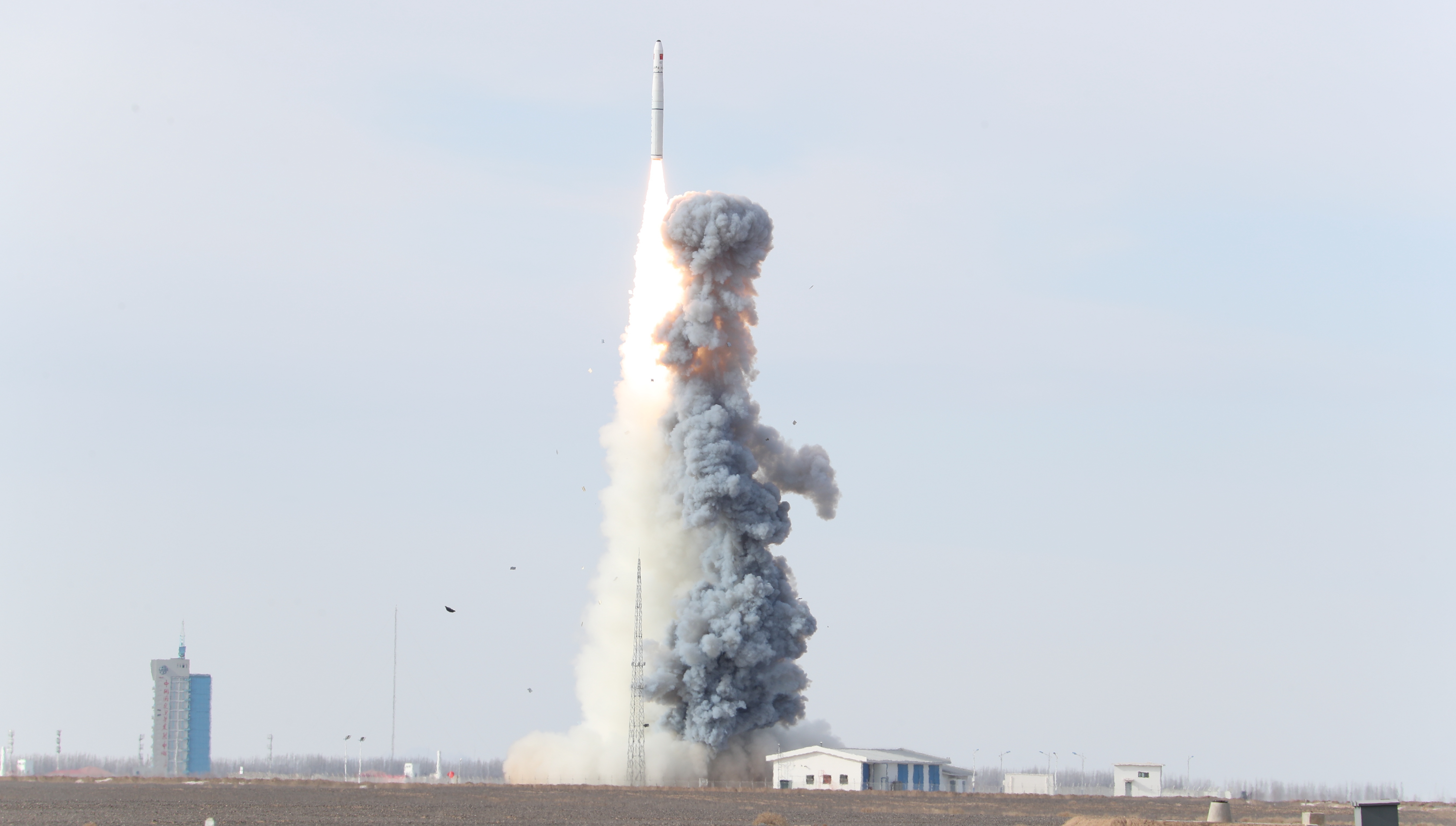

"Deqing-1"satellite and "Linye-2" satelliteare high-resolution commercial optical remote sensing satellites developed independently by our company. The two satellites belong to the "Jilin-1" satellite project, which consists of 60 satellites."Deqing-1" satellite and "Linye-2" satellitefully inherit the mature single machine and technical basis of "Jilin-1" video satellite, while the satellite ground resolution is 1 meter and the width is 19 km. It possesses many kinds of imaging modes such asconventional push broom imaging, gaze video imaging andshimmer imaging. The two satellites are built into orbit together with 8 orbiting "Jilin-1" satellites to form satellite network. Thus, the number of satellites in the "Jilin-1" satellite constellation rises to 10, which will greatly improve the service capability of "Jilin-1" satellite constellation and provide users with most timely remote sensing imaging services.
"Deqing-1" satellite is developed by co-operating with Hi-tech Industrial Development Zone of Huzhou Mogan Mountain, Deqing County, Zhejiang Province, which aims to provide remote sensing applications services, mainly around surveying, transportation, water conservancy, environmental protection, agriculture and statistics etc., as well as promote the development of China's geographic information industry under big data background.
As a second satellite for deep cooperation between the company and forestry systems, "Linye-2" satellite will continue toprovide satellite data services which is precise, with high resolution of time and space, high coverage and fast response for key forestry projects,so as to promote the improvement of forestry remote sensing informatization level in China.


