
Jixiang G45 wide-area remote sensing mapping UAV system is aself-developed 45kg oil-driven UAV system with fixed wing produced by Chang Guang Satellite Technology Co., Ltd. Its design philosophy is "the integration of airborne", and the high mounted wing is arranged by H tail, using two-stroke gasoline engine, with large effective load, long time of endurance, catapult-assisted take-off, parachute-opening landing and runway landing; its single operating area can be 70 square kilometers.
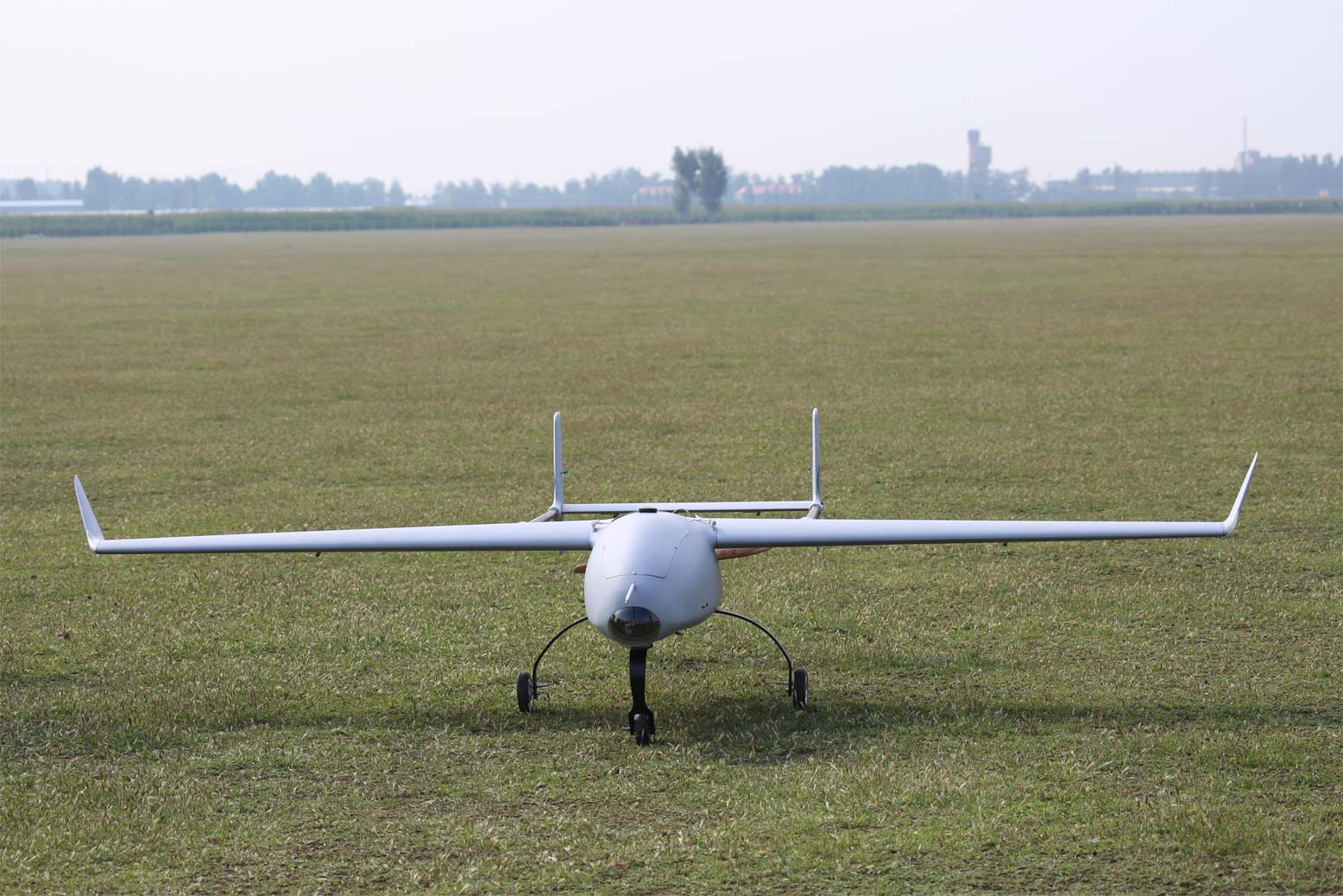
The UAV system is able to carry silent frame of mapping camera and multitasking photoelectric pod, has day and night monitoring capability, can make long-endurance real-time monitoring in the target area, and can implement fixed-point hovering monitoring over the fixed targets. After carrying the video tracking module, it can lock the ground moving object for steady gaze and probe the details. The system is widely used in aero-plane mapping, electric power lines inspection, urban planning, 3d modeling, petroleum pipeline inspection, census of national conditions, land management right of rural land, registration of real estate, and other projects, etc.
Table 1 Jixiang G45 UAV system's technical parameters
|
Serial number |
Technical parameters |
Specific data |
|
1 |
Maximum take-off weight |
45kg |
|
2 |
Effective load |
10kg |
|
3 |
Wing area |
1.5 |
|
4 |
Wing span |
3.46m |
|
5 |
The length of airplane |
2.5m |
|
6 |
Airplane (overall) height |
0.9m |
|
7 |
Engine power |
11hp |
|
8 |
Cruising speed |
100km/h |
|
9 |
Maximum level speed |
150km/h |
|
10 |
Ceiling |
3000m |
|
11 |
Time of endurance |
5h |
|
12 |
Wind loading rating |
5 level |
|
13 |
Takeoff mode |
Skate/launch |
|
14 |
The way of landing |
Skate/parachute |


