2020-05-15 | APPLIED NEWS Browsing Times : 3927
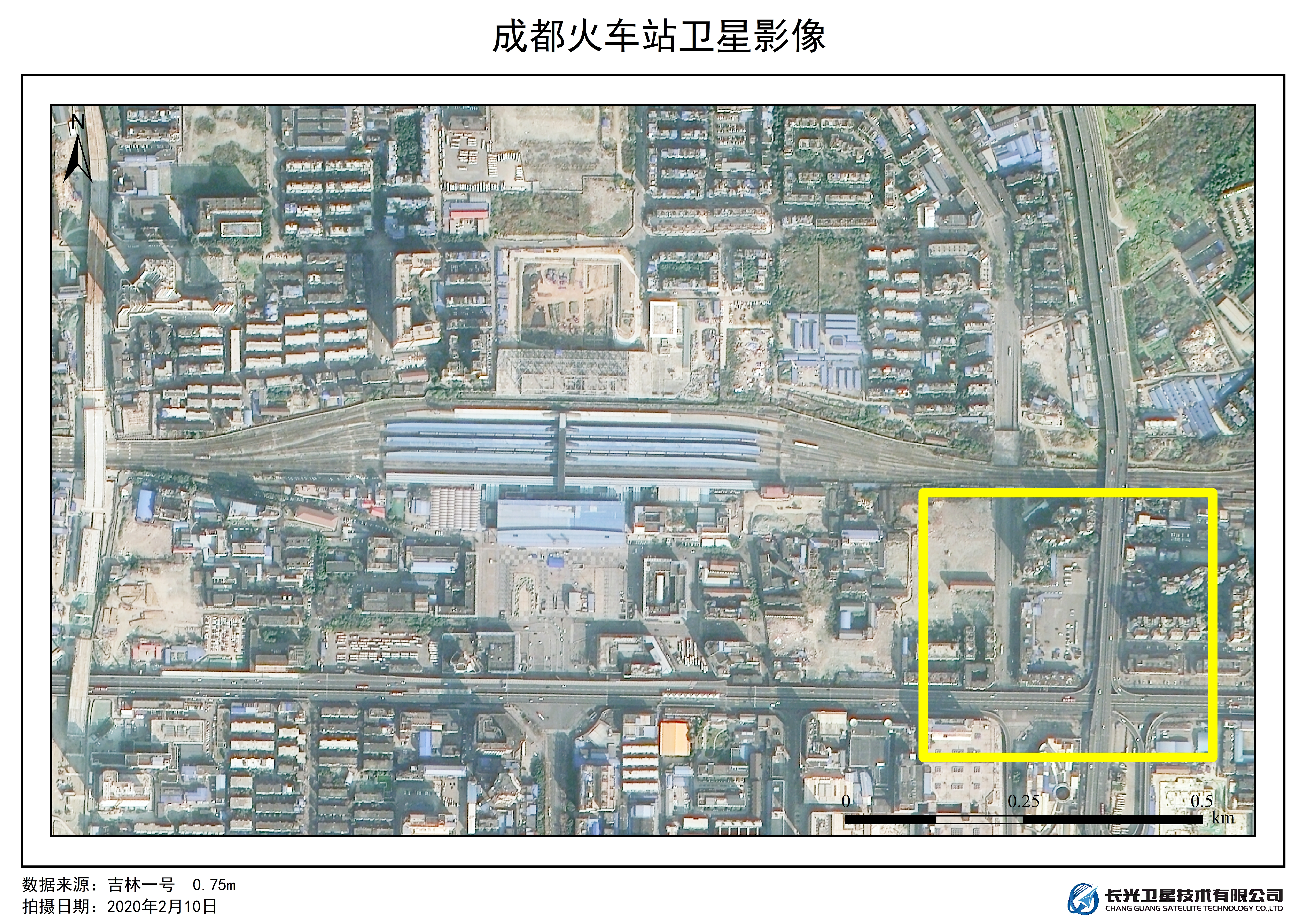
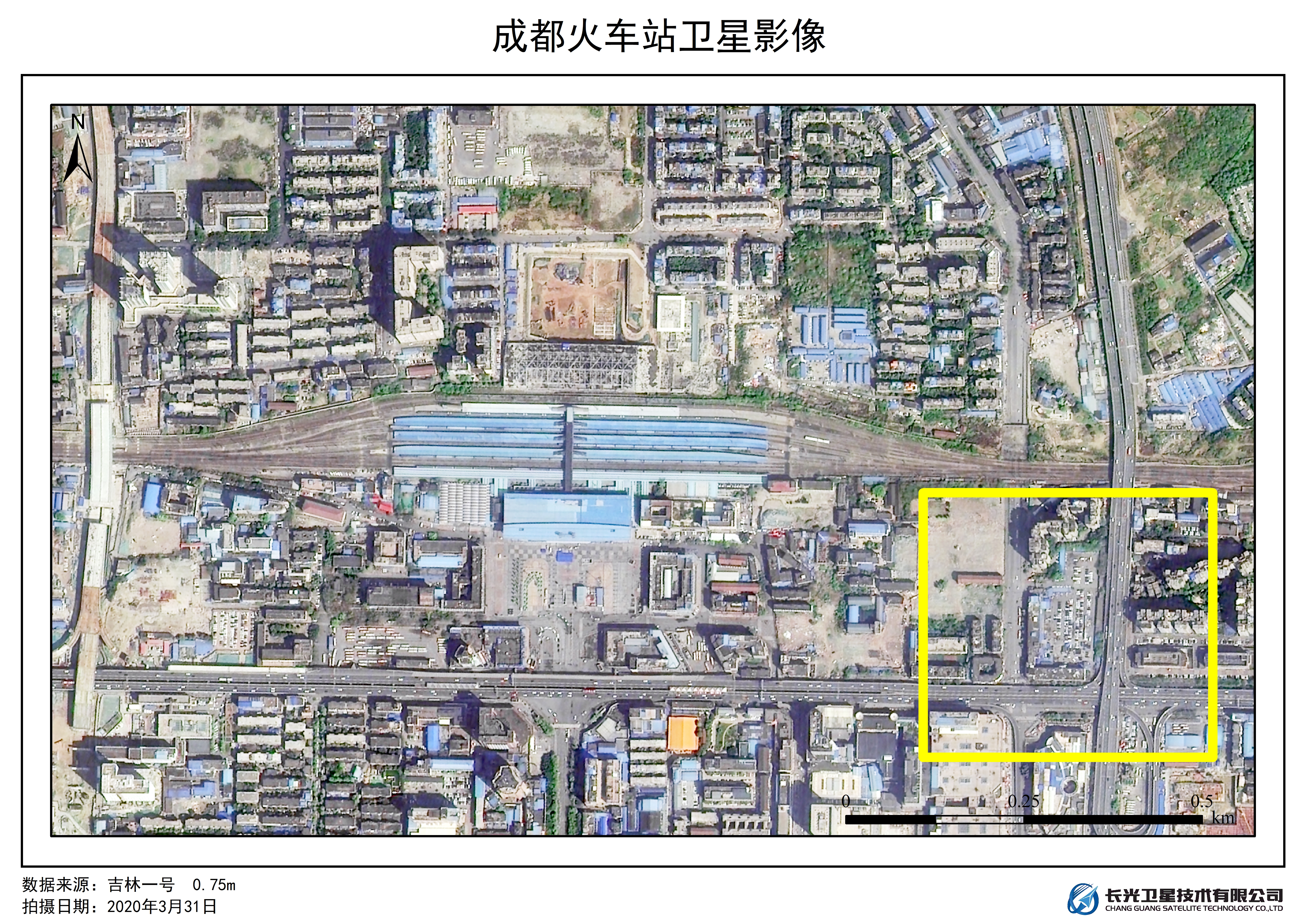
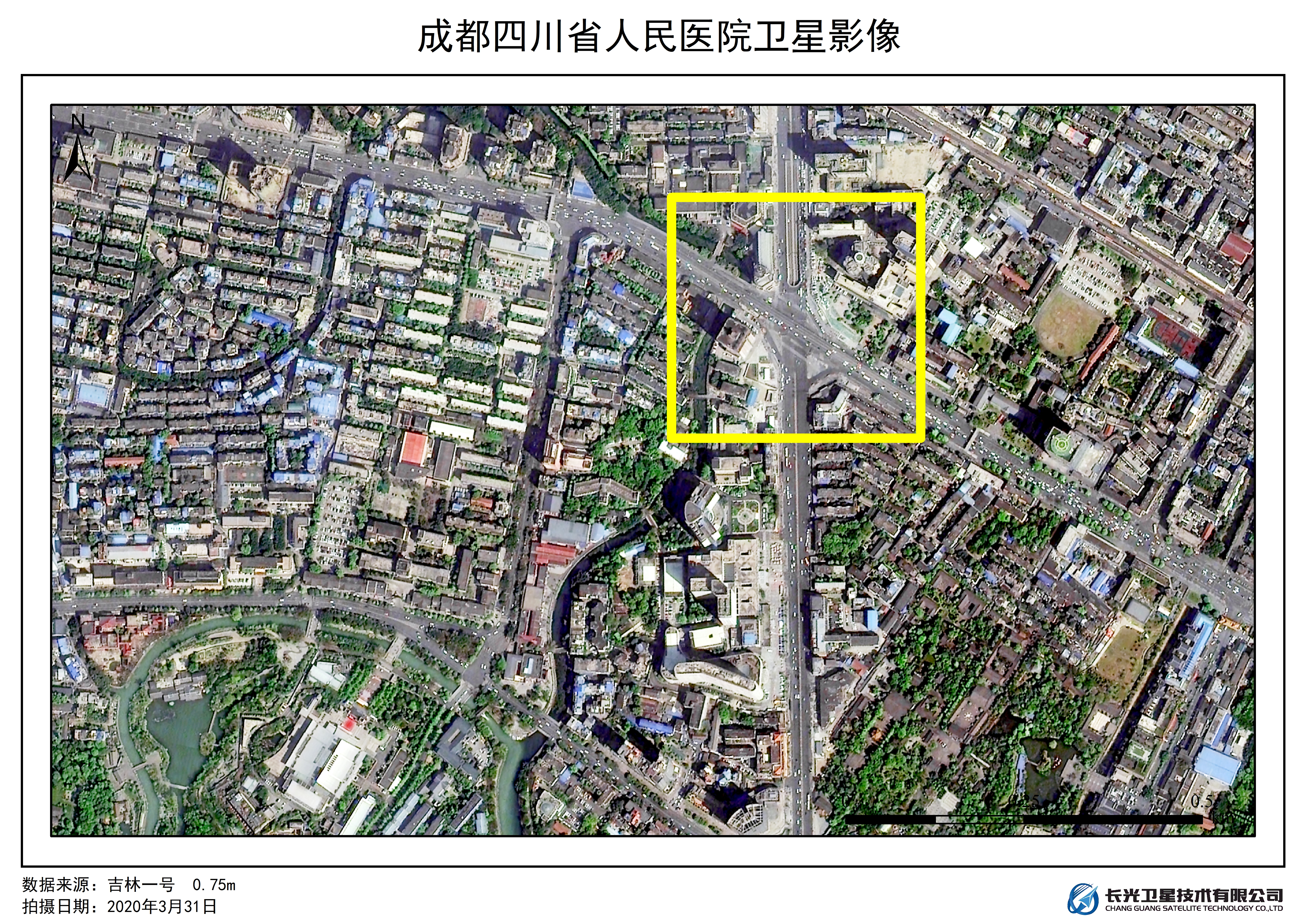
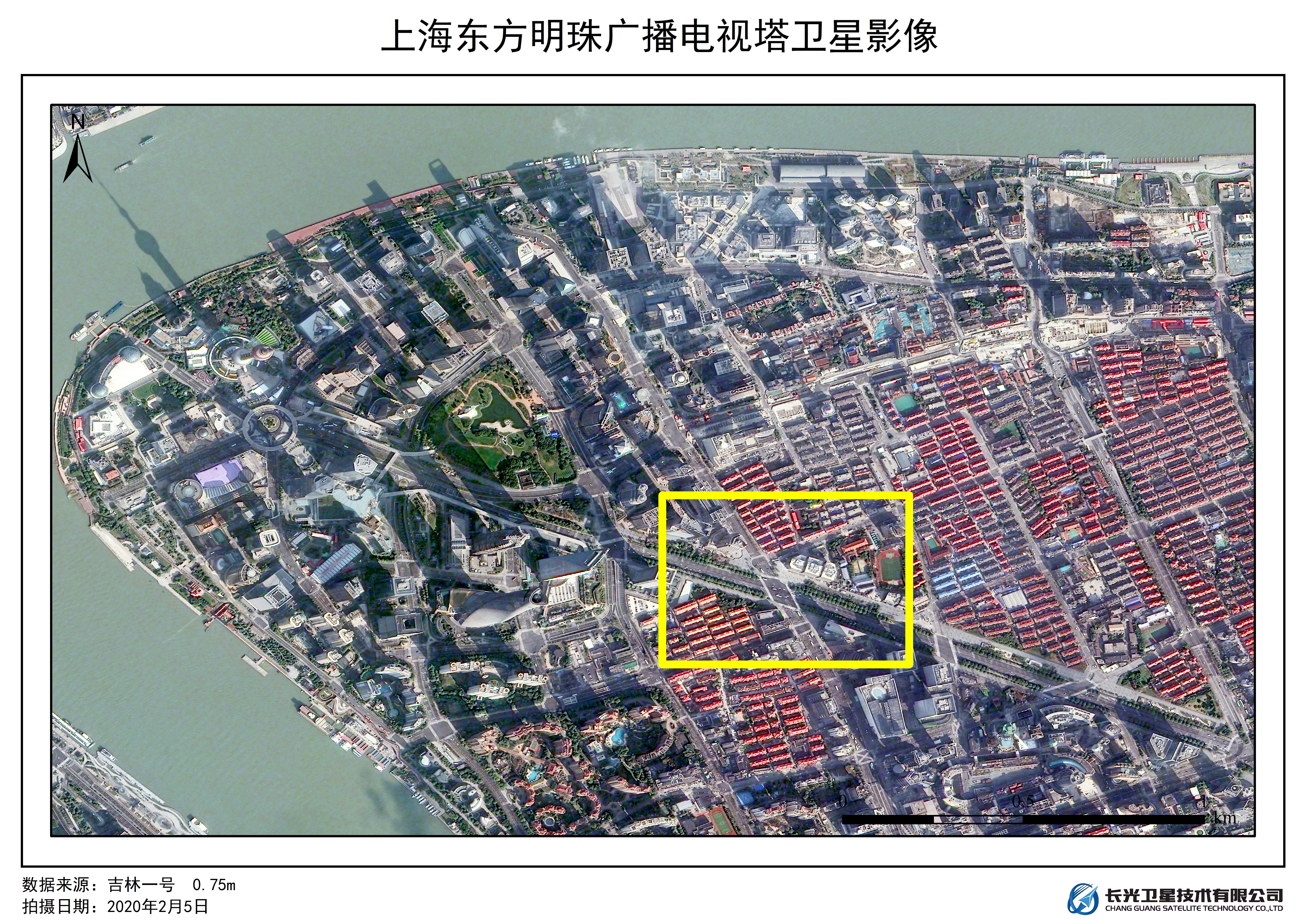
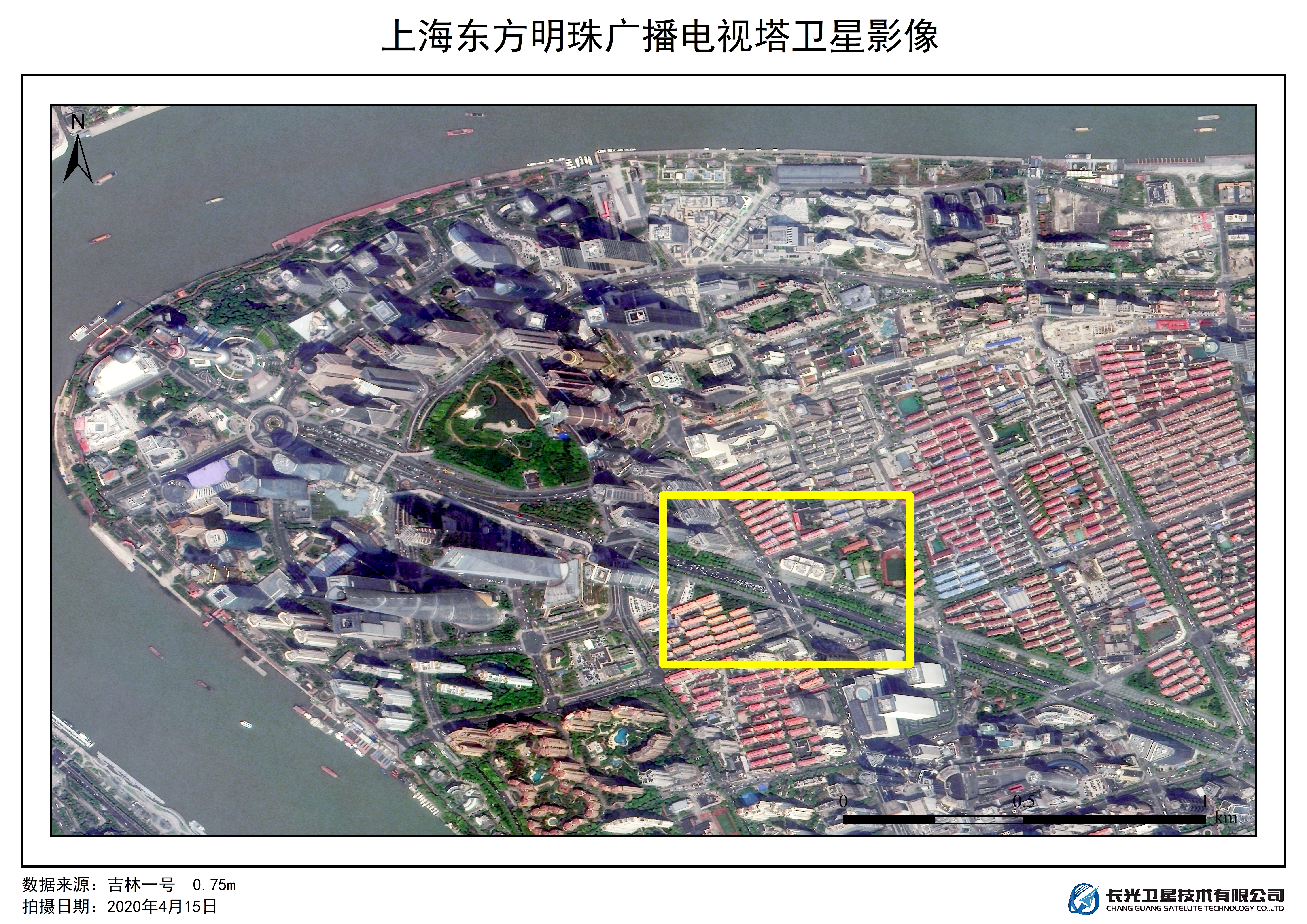
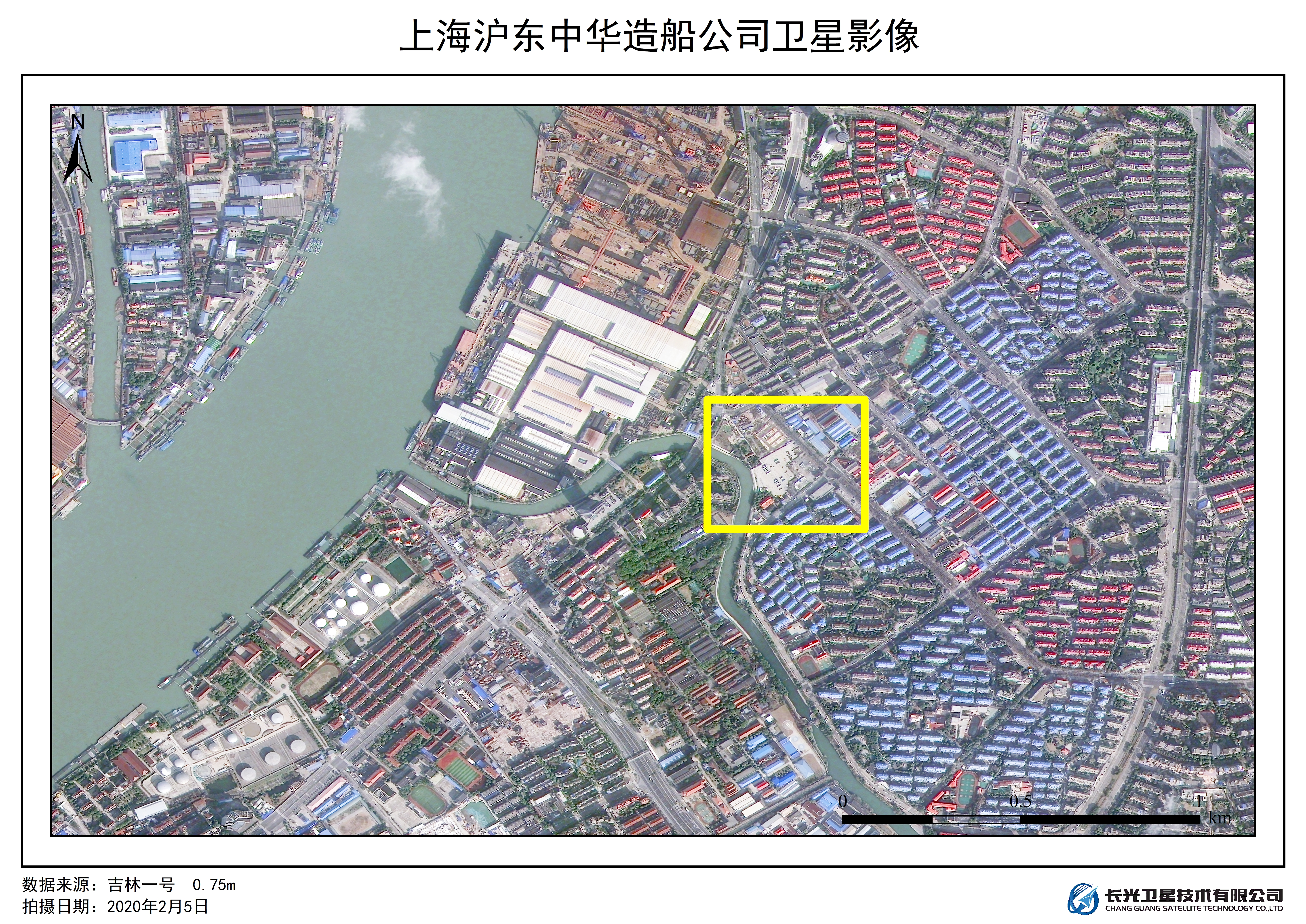
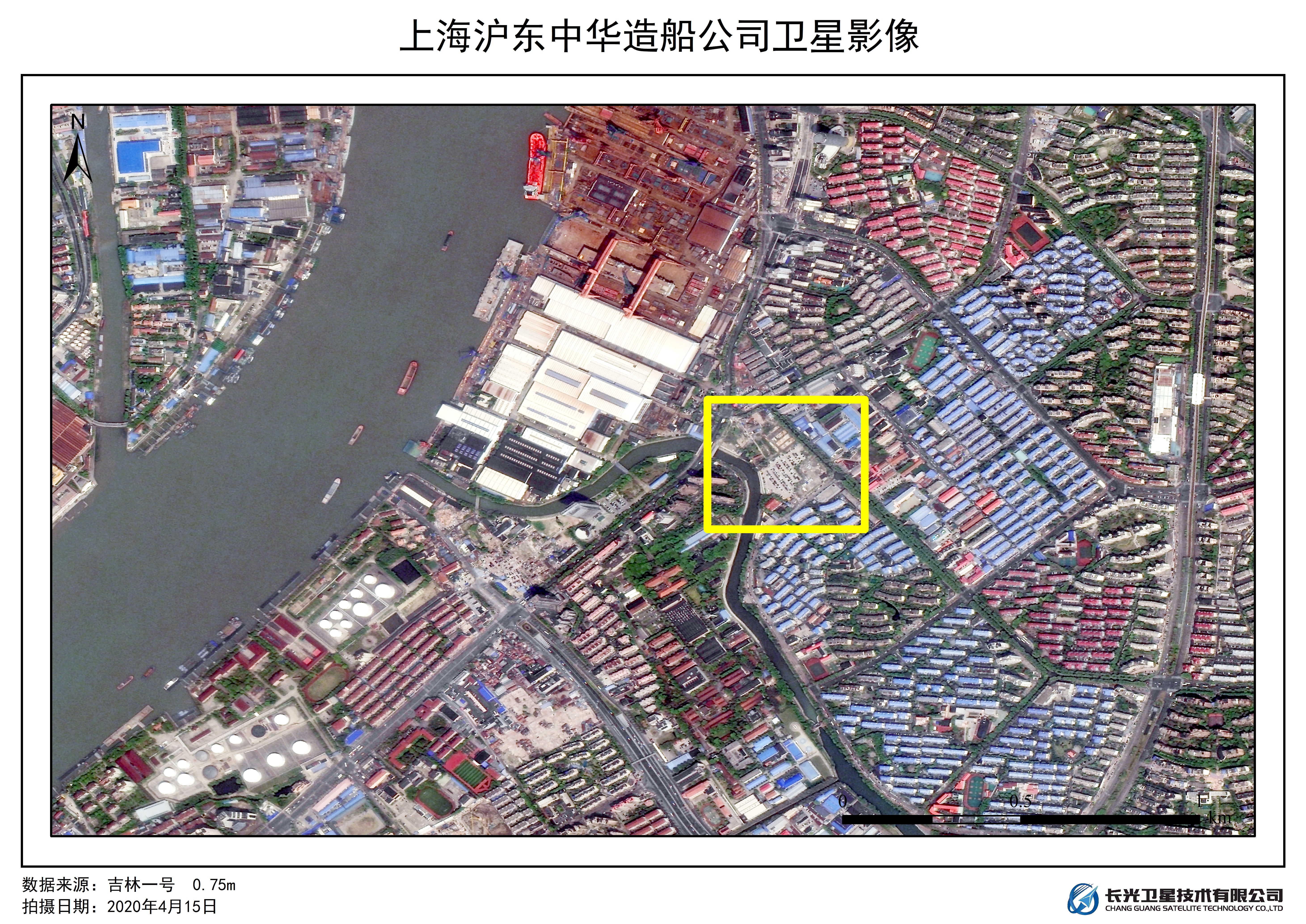
Chang guang Satellite Technology Co., Ltd. obtained the regional remote sensing images of Chengdu in February and March 2020 and Shanghai in February and April 2020 by using "Jilin-1" satellite. By comparing the utilization rate of urban parking lot and the traffic condition of main roads before and after the epidemic, and analyzing the changes of traffic density in local areas, it is found that the main enterprises in Chengdu and Shanghai have resumed production in succession, and the travel frequency of residents has increased significantly. It shows that with the improvement of the epidemic situation, the living and working conditions of urban residents have been gradually restored, traffic, travel, work and entertainment have been significantly improved, and the economic development will gradually return to the usual level.